EAVISION EA-30XP Agricultural Drone

More Stable, More Powerful
Binocular Perception Technology Triple Protection
Ambient-Temp Mist Nozzle Adjustable Droplet Size
Night Ops Lighting Seamless 24/7 Operation
Power System Upgrade Extended Flight Time
Precision Spreading Clog-Free & Smooth Flow
EA-UNI vision
Vision System
Binocular 3D Perception Technology
Seamlessly integrated with millimeter-wave radar, LiDAR, and ultrasonic radar for real-time obstacle detection
Ultra-low terrain-following flight enables full-terrain operations in hilly and mountainous areas
Upgraded Night-Flight System (EA-NLS 3.0)
Fully integrated, washable, and heat-resistant design.
Up to 400 m² illumination with 10% higher uniformity for stronger autonomous night terrain-following in hilly orchards.
Stabilized FPV System
Supports 120° vertical rotation and a 130° ultra-wide FOV with a highly stable, low-latency gimbal feed.
AR-assisted overlays reveal obstacle direction and distance, enabling easier waypoint marking and more user-friendly manual control.
EA-UNI spray
Spray System
Intelligent Spraying
Ambient-temperature bimodal mist nozzles adopt an integrated ESC design for reduced wire wear, better sealing, and fewer clogging issues. With a 10–300 µm adjustable droplet range, it adapts to a wide variety of crops. The fully integrated chemical tank detaches as a whole for fast mode switching and lighter carry load.
Precision Spreading System
40 L spreading capacity with built-in smart weighing system and blade-type agitator for smooth operation; Material spreading speed increased by 33%, overall spreading efficiency up to 30% higher
EA-UNI Power
Power System
Power System Upgrade
12% higher payload capacity, optimized ESC layout, and enhanced anti-interference ensure stable and reliable flight
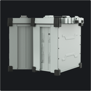
Battery
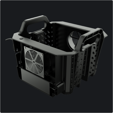
Battery Cooling Station
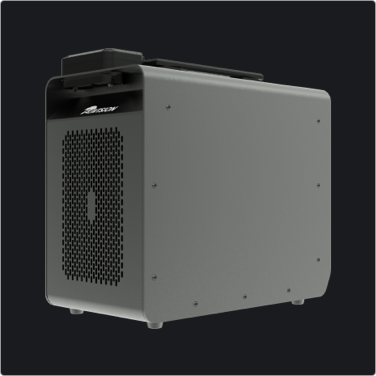
Charger
EA-UNI com
Com System
Triple-Link Integration
Instant connection for take-off; combines data link with dual-SIM 4G network for stable communication even in weak-signal areas
In offline areas, the new EAV-BAS30 base station enables one-to-many coordination and uninterrupted operations
Cloud Platform
Field Data Tool
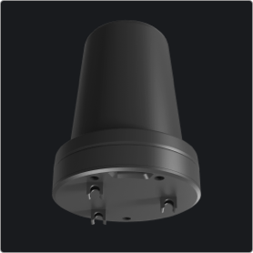
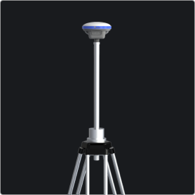
Base Station
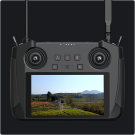
Remote Controller
Specifications
Model 3WWDZ-30C
Max Wheelbase
2200mm
Dimensions (Folded)
1260mm×630mm×620mm
Dimensions (Unfolded)
2400×2810×670mm
Max Take-off Weight
73.6KG
Hopper Capacity
30L
Empty Weight
41.2KG
Effective Spray Width
3m~8m
Hover Time
Hover Time (Full Load): 8min Hover Time (Empty Load): 19min
Droplet Size
10~300μm
Battery Capacity
29000mah
IP Rating (Aircraft)
IP67
Charging Time
8-10min

* The actual product appearance may vary from the images shown.

* The UAV payload capacity is measured at sea-level conditions. EAVISION may recommend or adjust the allowable payload based on the aircraft status, environmental conditions, and operational requirements. Do not exceed the recommended maximum payload, as doing so may affect flight safety. Material density varies for different types of granular or liquid payloads; please follow local regulations when operating the spreading system.

* The payload capacity of the UAV decreases as altitude increases. For every 1,000 meters of elevation gain, the maximum payload is reduced by approximately 10%. When operating in high-altitude environments, the performance of the battery and propulsion system may degrade due to environmental factors, which can adversely affect overall flight performance. Users shall exercise heightened caution when flying in such conditions.

* In low-temperature environments, ensure the flight battery is fully charged and reduce the UAV payload; otherwise, flight safety may be compromised, or takeoff restrictions may occur.

* The UAV must not be operated following any collision, overturning incident, or after exposure to fire, explosion, lightning, heavy rain, strong winds, tornadoes, earthquakes, sandstorms, or any other severe environmental events or natural disasters.

* Data (2000m) measured in an open, unobstructed environment free of interference. It refers to the max video transmission distance under specific standards. Actual range is subject to environmental interference, flight altitude, and obstructions.