RTK Agricultural Drones: Base Stations, Signal Relay, and Accurate Routes


An RTK agricultural drone is built for work where route accuracy matters. In spraying, spreading, lifting, and field data capture, a small positioning error can create missed strips, overlap, poor boundary control, or risky turns near trees, poles, wires, terraces, or waterways. RTK helps reduce that uncertainty by using correction data to improve GNSS positioning in real time.
RTK stands for Real-Time Kinematic. In practical terms, it compares satellite positioning data from a known reference point with the drone's moving position, then sends corrections so the aircraft can navigate more accurately. Under suitable conditions, RTK systems are commonly used for centimeter-level positioning. In agriculture, that accuracy is valuable only when it is connected to good maps, reliable signal, clear routes, calibrated equipment, and trained operators.
This guide explains how RTK, base stations, and signal relay fit into agricultural drone operations. It also shows what technical buyers should check before choosing a precision agriculture drone for weak-signal, mountain, orchard, or large-field work.
What RTK Changes in Agricultural Drone Operations
RTK changes a drone operation from "fly approximately here" to "repeat this route with much tighter control." That matters because farm work is full of boundaries: crop rows, irrigation canals, no-spray zones, fences, power lines, orchards, ponds, roads, and neighboring fields.
For agricultural spraying and spreading, more accurate routes can help with:
- More consistent swath spacing
- Lower risk of missed strips
- Lower risk of unnecessary overlap
- Better boundary control near sensitive areas
- More repeatable AB routes
- Cleaner entry and exit paths
- More reliable records for service jobs
- Safer planning around obstacles and terrain
RTK does not replace agronomic setup. Spray quality still depends on label requirements, droplet size, carrier volume, flow rate, flight height, wind, crop canopy, and operator judgment. But when the route itself is more accurate, the operator has a stronger foundation for repeatable field work.
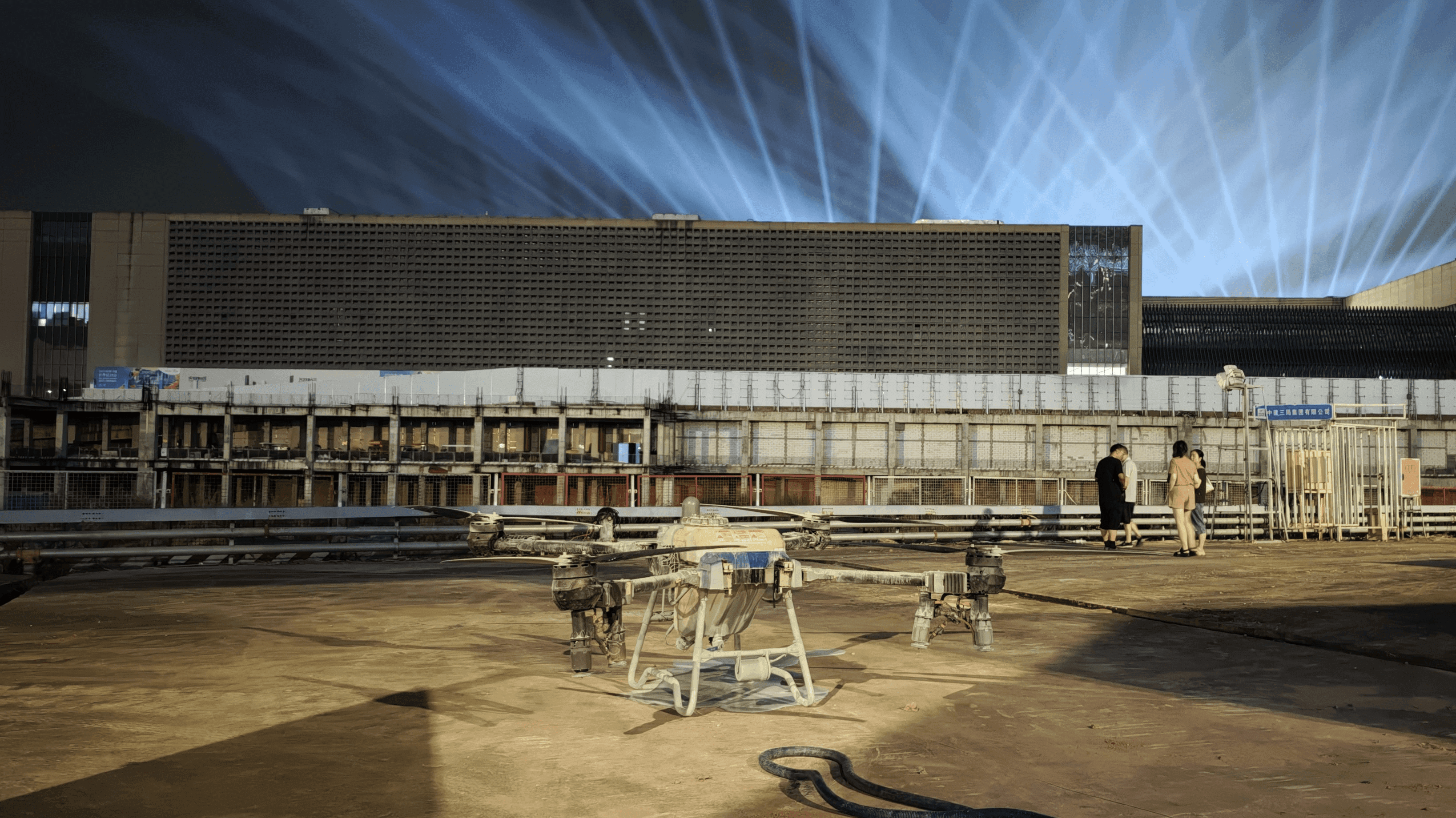
The EAVISION J150 supports intelligent route planning, multi-plot operations, aerial relay, and AB route mode. For buyers, those workflow features are just as important as the word “RTK,” because accurate positioning has to translate into usable field tasks.
Base Stations, Rovers, and Correction Signals
An RTK workflow usually includes four parts:
|
Component |
Role in the field |
|
GNSS satellites |
Provide positioning signals used by the drone and base station |
|
Base station or correction source |
Provides reference correction data from a fixed or known position |
|
Rover |
The moving receiver, usually the drone or field data tool |
|
Data link |
Sends correction data to the rover in real time |
The base station is the anchor. If the base station is poorly placed, blocked, unstable, or misconfigured, the rover cannot receive reliable corrections. The data link is the bridge. If it drops out, the drone may fall back to lower-accuracy positioning or pause depending on system behavior and task settings.
For farm buyers, the practical question is not only "Does this drone have RTK?" Ask:
- Does the package include a base station or support a correction network?
- Can it work when cellular coverage is weak or absent?
- How far can the correction signal remain stable in real farm conditions?
- How does the controller show RTK status, signal quality, and task readiness?
- Can the operator capture boundaries and create routes in one workflow?
- What happens if the signal drops during spraying or lifting?
EAVISION’s Super-Link Communication Station and Field Data Tool is a field-ready part of this workflow. The J150 and J70 support four related functions: high-precision data capture, offline base station, signal relay, and lifting guidance. That combination is useful because field accuracy often depends on more than the aircraft.
Signal Relay in Weak-Signal and Mountain Fields
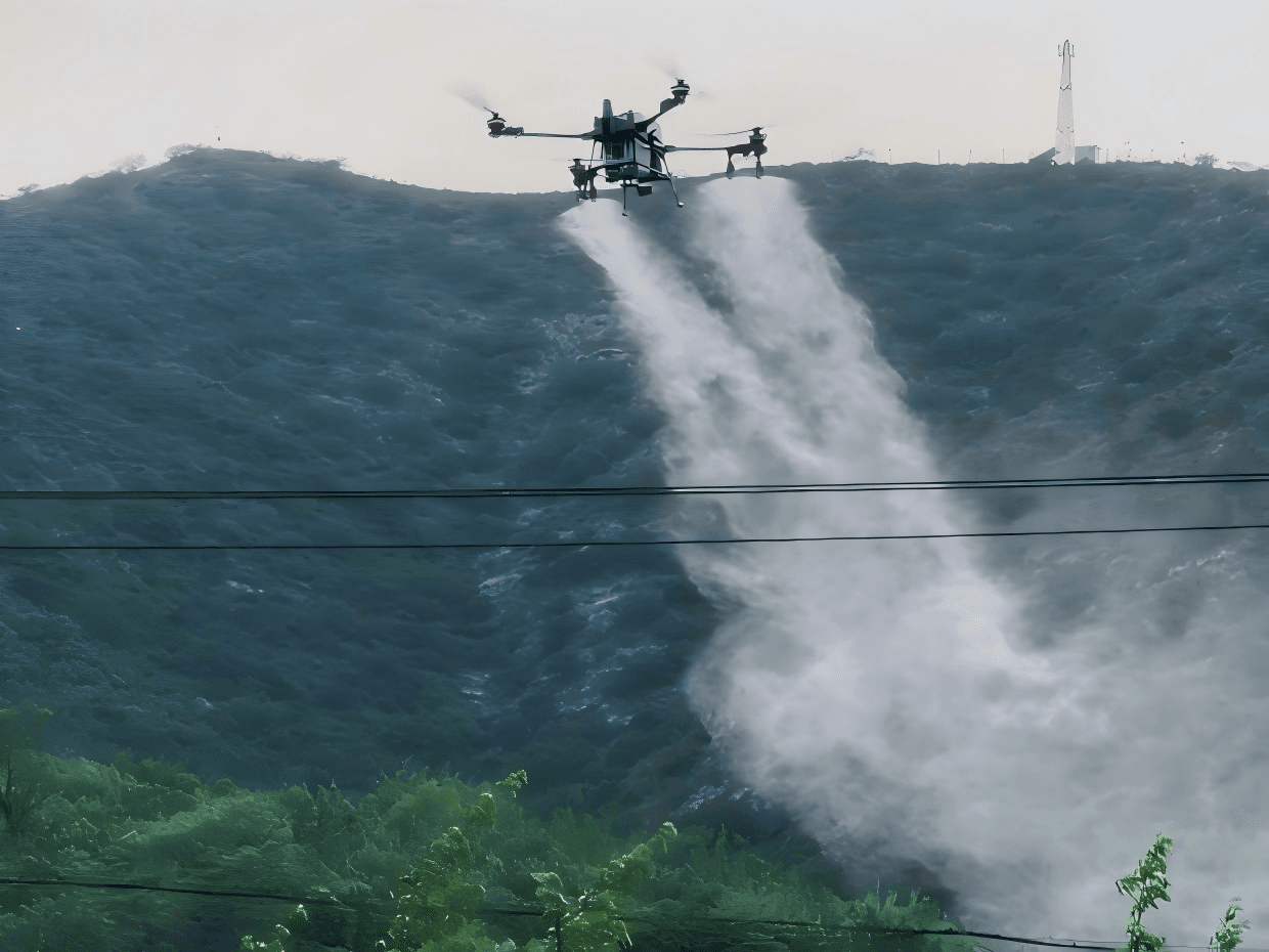
Weak-signal fields are common in agriculture. Mountain farms, orchards, terraces, valleys, tall crops, and remote plots can all create signal problems. Cellular network RTK may be unreliable. Terrain may block communication. A hillside orchard may have good signal near the loading area but poor signal behind a ridge.
This is where signal relay and offline base station capability become important. EAVISION describes Super-Link as helping operations in offline, weak-signal, and mountain-obstructed environments. The product pages also note extended communication range for tall crops, hills, and mountain terrain.
For operators, the planning process should include:
- Choosing a base station location with stable sky view
- Checking line of sight where possible
- Avoiding setup next to metal structures, vehicles, and tall obstructions
- Testing correction status before filling the tank
- Confirming route behavior at the farthest field edge
- Planning failsafe actions for signal loss
- Keeping manual override and return paths clear
RTK and relay tools are especially useful where field work is already hard: orchards with wires, sloped farms, narrow terraces, and remote plots. But they still require a conservative field test. Do not discover a weak correction link halfway through a pesticide application.
From Field Data to Actionable Routes
Field data becomes most valuable when it turns into executable work. A boundary file that sits in a folder does not improve spraying. The value comes when accurate boundaries, obstacles, no-spray zones, and route lines flow into the actual task.
A practical field-to-route workflow looks like this:
1. Capture or import the field boundary.
2. Mark obstacles, roads, power lines, water, and sensitive areas.
3. Confirm crop rows, slope, and entry points.
4. Build routes based on swath width, turning radius, and refill plan.
5. Review no-spray zones and buffer needs.
6. Test positioning and signal status.
7. Execute the route and save operation records.
The J150 supports field data capture and hand-drawn boundaries, allowing operators to move from boundary creation to flight planning. It also supports “draw and fly” style operation, AB route planning, and task deployment through aerial relay. These are the workflow details technical buyers should evaluate because RTK accuracy only becomes useful when it supports repeatable tasks.
For service providers, accurate field records also help with customer trust. The operator can show what was planned, where the drone flew, and which field boundaries or exclusion zones were respected. That matters for pesticide records, service billing, and repeat jobs.
Buyer Checklist for RTK Agricultural Drones
Before buying an RTK agricultural drone, evaluate the complete positioning workflow.
Ask the supplier:
- What RTK hardware is included in the package?
- Does the drone need cellular RTK, a local base station, or both?
- Can the system operate in offline or weak-signal fields?
- How does the controller show RTK fix status and signal quality?
- Can operators capture boundaries and build routes in the same workflow?
- How are no-spray zones, obstacles, and buffers handled?
- What happens when correction signal drops?
- Is there a signal relay option for hills, tall crops, and mountain terrain?
- What training is included for base station setup and route planning?
- Are parts, service stations, and online support available locally?
Also test the system in the real operating environment. A demo in an open flat field does not prove performance in a mountain orchard, tall crop, valley, or remote farm with poor network coverage.
EAVISION’s after-sales support includes global service support, authorized service stations, official parts, training resources, and online service. For RTK workflows, support matters because operators may need help with setup, positioning status, route files, controller use, and troubleshooting during short spray windows.
Conclusion
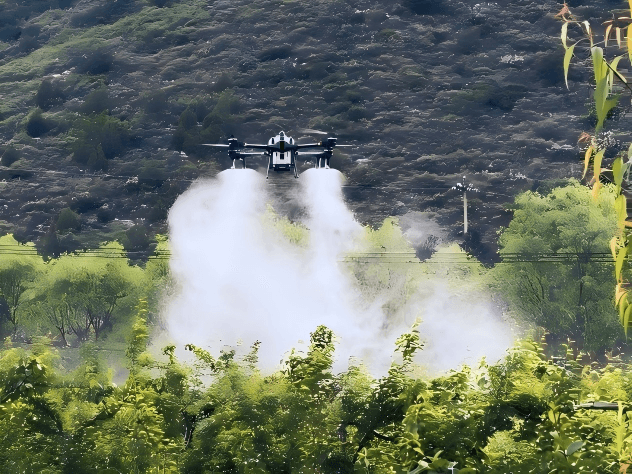
RTK agricultural drones are not only about centimeter-level positioning. They are about turning accurate position data into safer, cleaner, and more repeatable field operations. The full workflow includes a base station or correction source, signal relay, controller feedback, boundary capture, route planning, obstacle awareness, and trained operators.
For high-utilization farms and service providers, the EAVISION J150 offers strong capacity with Super-Link, RTK mobile base station support, intelligent routes, and field-ready communication tools. For smaller farms and fragmented plots, the EAVISION J70 can provide a compact platform with RTK and Super-Link workflow support. The best purchase decision is the one that matches accuracy tools to real farm terrain, signal conditions, and seasonal workload.
FAQ
What is an RTK agricultural drone?
An RTK agricultural drone uses real-time correction data to improve GNSS positioning accuracy. In farm operations, that can help create more accurate routes, boundaries, swaths, and repeatable field records.
Does RTK improve agricultural drone route accuracy?
RTK can improve positioning accuracy for boundary capture and route planning, but overall route quality also depends on field setup, base station placement, signal link, obstacle marking, software workflow, and operator checks.
Do I need RTK for every spraying job?
Not always. Simple open fields may not require the most advanced positioning workflow. RTK becomes more valuable when routes must be repeated, boundaries are tight, terrain is complex, service records matter, or weak-signal areas create navigation risk.