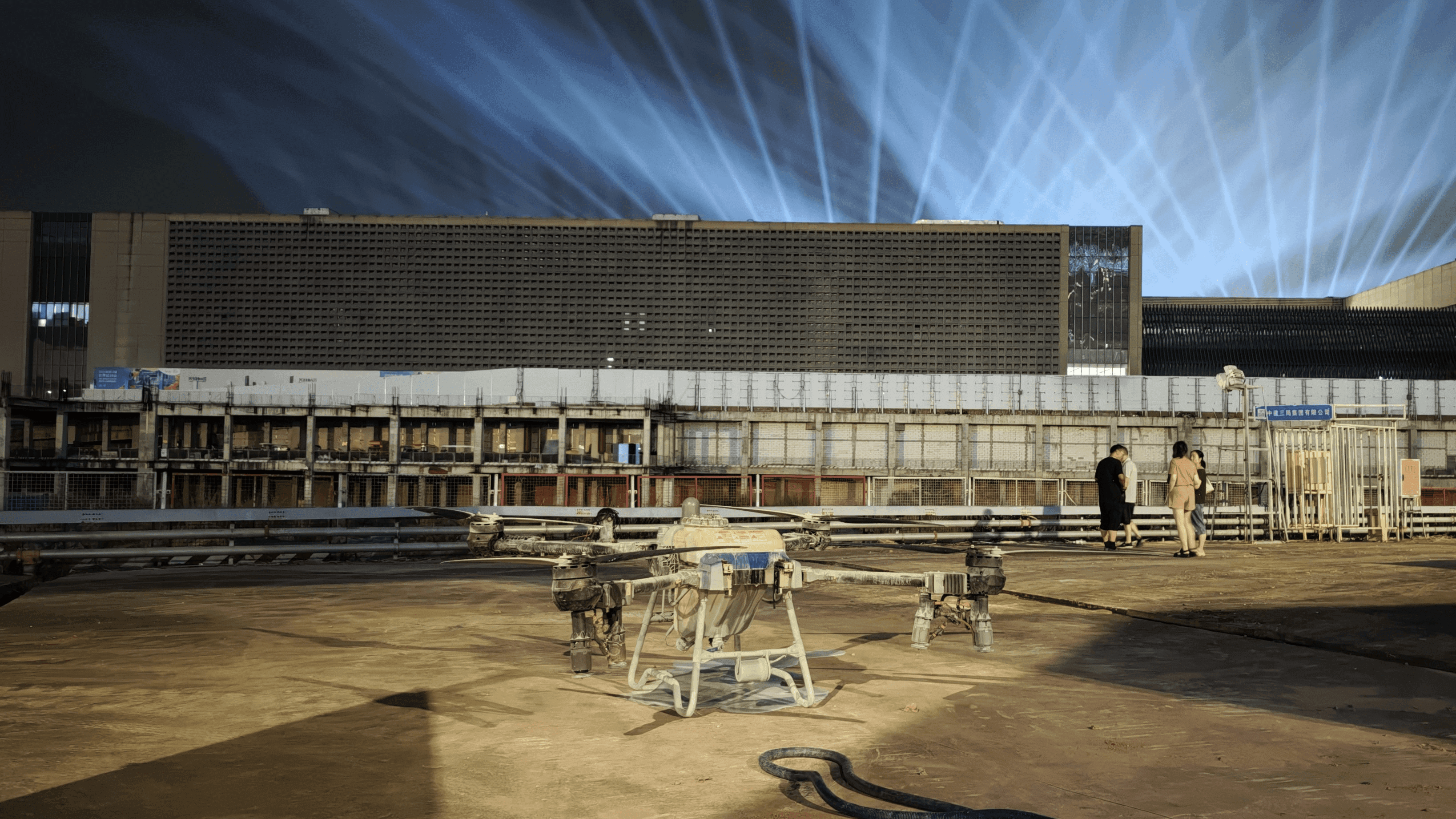
How Are Drones Used in Agriculture?


What does the use of drones in agriculture look like in 2026? It gives farmers a faster, cheaper way to monitor crop health and manage fields from above.
From spot-checking trouble zones with smart sensors to precision spraying and seeding, drones save huge amounts of time, chemical usage, and labor. Here are the most common uses and what each one looks like in practice.
7 Common Uses of Drones in Agriculture
Some drones are built for imaging. Others are designed to carry liquid or granular material. A few platforms can change attachments and handle several tasks. Matching the drone to the job is more important than choosing the longest specification list.
In simple terms, the use of drones in agriculture falls into two groups. The first is observation. These flights create maps, images, and inspection records. The second is action. These flights apply material or move a payload. Some farms begin with observation and add application work later.
1. Mapping Fields
A mapping drone follows a planned route and captures overlapping images. Software joins those images into an overhead map. Farms can use the map to record boundaries, access lanes, drainage lines, slopes, crop rows, and obstacles.
Repeated flights can show how a field changes during the season. They may also support stand counts, storm-damage records, route planning, and field measurements. Drone maps are useful operating tools, but they do not replace a licensed survey for legal boundaries.
2. Scouting Crops
RGB cameras can reveal gaps, lodging, weeds, storm damage, and uneven crop color. Multispectral cameras show differences in plant reflectance. Thermal cameras can highlight temperature patterns linked with water stress.
A colored map is not a diagnosis. Disease, insects, nutrients, soil, heat, and shade can create similar patterns. The next step is to visit the flagged area and confirm the cause. That turns aerial imagery into a useful scouting shortcut. The USDA Agricultural Research Service describes agricultural UAS work through scouting, monitoring, and managing in-season crop prescriptions.
3. Checking Irrigation
Drones can inspect irrigation lines, channels, pumps, and drainage areas without sending a person across the entire field. Flights may reveal dry corners, leaks, blocked lines, ponding, or areas that drain slowly.
Thermal results are easier to compare when the farm keeps flight time, crop stage, and weather conditions consistent. Once a suspicious zone appears, the irrigation team can go straight there and check the hardware on the ground.
4. Spraying Crops
A spray drone carries a liquid tank, pump, flow-control system, and nozzles or atomizers. The operator sets the route, height, speed, swath, flow, and droplet choice. The aircraft can treat a whole block or an approved target area.
This use is helpful in wet fields, tall crops, orchards, terraces, and slopes where ground machines may struggle or damage plants. Application quality still comes first. Operators should test deposition and follow the product label, weather limits, buffer zones, and local rules. In the United States, many dispensing operations are covered by FAA Part 137 requirements.
5. Spreading Fertilizer and Seed
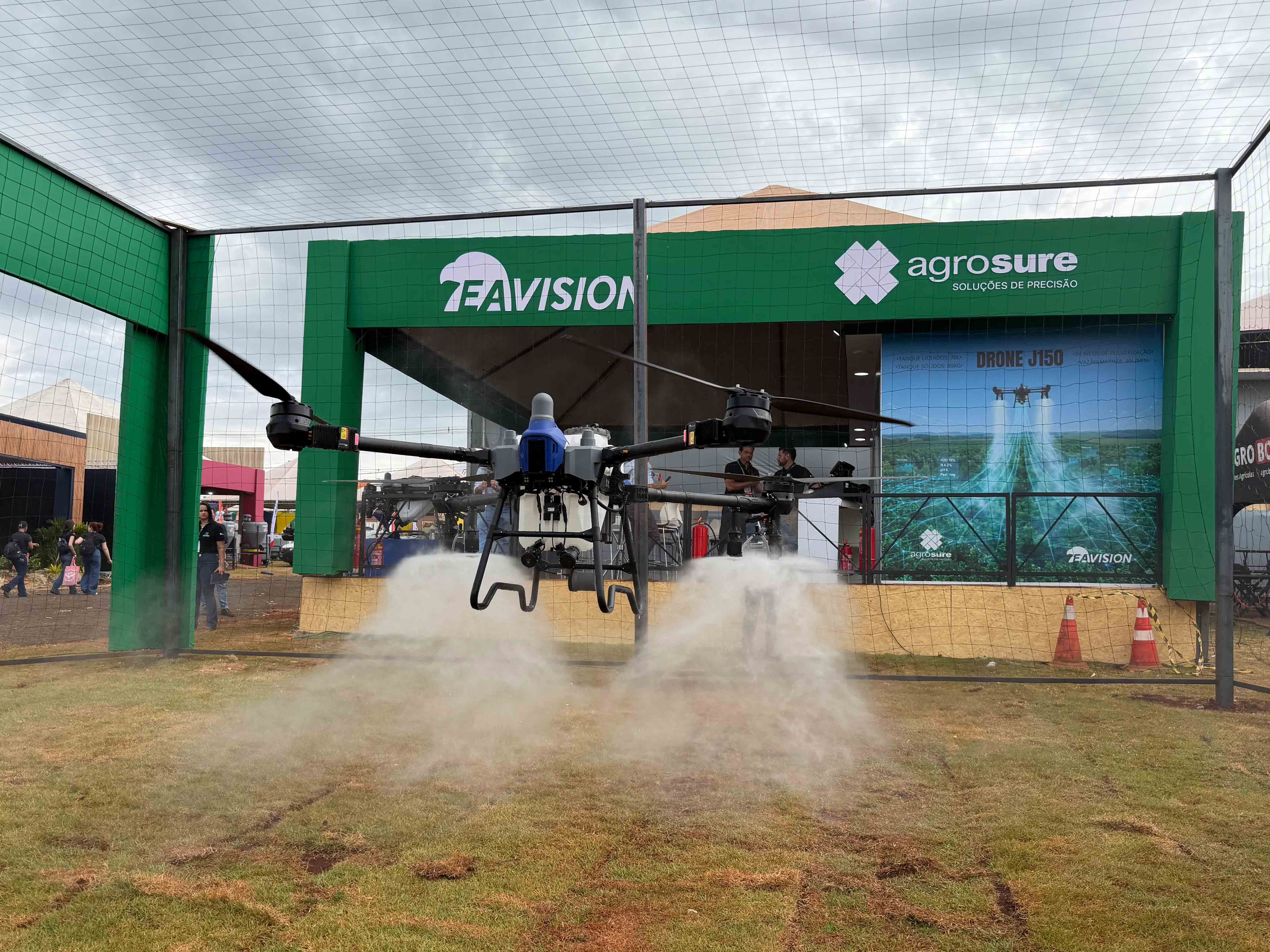
A spreader drone uses a hopper, feeder, and spreading disc instead of a liquid tank. It can distribute approved granular fertilizer, cover-crop seed, rice seed, feed, or similar material.
Granule size, moisture, feed rate, flight speed, and swath width affect the pattern. Run a tray test before the job and weigh what lands across the swath. Adjust the settings until the distribution is even. EAVISION's fertilizer spreading guide explains this calibration process.
6. Monitoring Livestock and Land
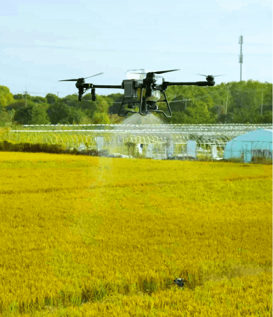
A camera drone can check fences, water points, gates, grazing areas, and remote blocks. Zoom and thermal cameras may also help locate animals or identify unusual patterns without driving every track.
The drone does not replace close animal inspection. It helps narrow the search and reach remote areas sooner. Flights should avoid stressing livestock, disturbing wildlife, or operating near people who are not part of the job.
7. Carrying Loads
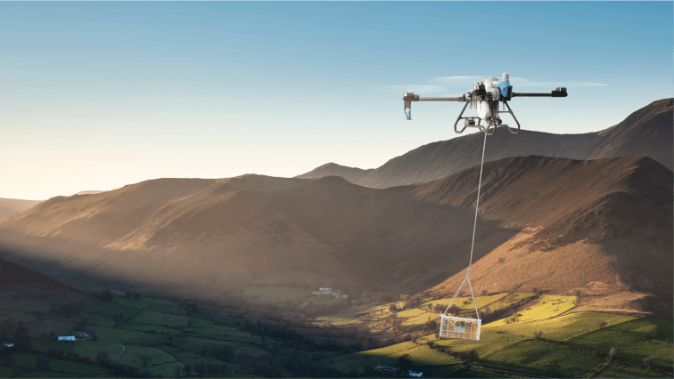
Some heavy agricultural drones can move rated loads across orchards, hillsides, or remote farm blocks. This can reduce manual carrying on steep ground and shorten trips where normal vehicles have poor access.
Payload limits, balance, attachment security, flight route, and emergency procedures must be clear before takeoff. For example, the EAVISION J150 supports spraying, spreading, lifting, and field data capture. Each setup has its own operating limits.
Is an Agricultural Drone Worth It?
An agricultural drone can be worth it when timing, access, crop protection, or repeated field data matters. It is especially useful when fields are wet, steep, fragmented, difficult to enter, or planted with crops that should not be driven over.
It is not automatically the cheapest option. A farm must count batteries, chargers, transport, training, insurance, software, permits, replacement parts, labor, and downtime. Low annual use can make ownership expensive. In that case, hiring a contractor may make more sense.
A University of Missouri Extension model shows that acreage, utilization, equipment cost, and battery performance can change the cost per acre. Its results are examples based on stated assumptions, so local numbers are essential.
The short answer: a drone is worth it when it solves a real field problem often enough to cover its total cost. The best choice is based on the full workflow, not flight speed alone.
Want to see which setup fits your farm? Share your crop, field size, terrain, country, and main task with EAVISION.
FAQ
How Are Drones Used on Farms?
They map fields, scout crops, check irrigation, spray liquids, spread fertilizer or seed, monitor livestock and land, and carry rated loads. The aircraft and attachment must match the task.
Can Agricultural Drones Spray Crops?
Yes, where the product label and local rules allow it. Operators must set and verify the flow, droplets, swath, height, speed, weather limits, and buffer zones.
Can Drones Spread Fertilizer and Seed?
Yes. A spreader drone can distribute approved granular fertilizer, seed, feed, and similar material. The operator should calibrate feed rate and swath uniformity before the job.
What Cameras Do Agricultural Drones Use?
Common choices include RGB, multispectral, and thermal cameras. The right sensor depends on whether the farm needs normal visual detail, crop-reflectance patterns, or temperature differences.
Are Agricultural Drones Hard to Operate?
Automated routes make flying easier, but safe farm work still needs training. Operators must understand weather, batteries, payloads, calibration, emergency procedures, maintenance, and local rules.